

Arnica / Twin Lakes
Please be advised that this is an alternate route. The standard approach is via Redearth Creek.
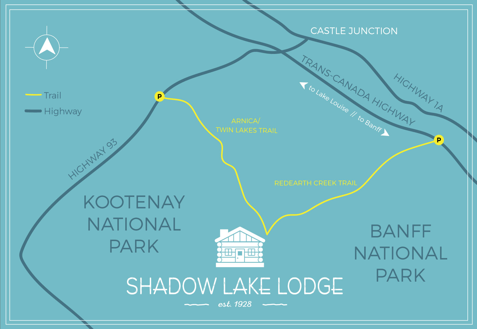
Click to enlarge map.
Rating: Moderate to Strenuous
Distance: 14.0km
Elevation gain: 960m
Allow: 6 to 7 hours one way
Trailhead: Vista Lake Viewpoint, approximately 8.2km south of Castle Junction on Highway 93 South.
This is a very scenic route, starting with a 120m descent to Vista Lake. Then the work begins. The trail is seldom steep, but you never stop climbing until you reach Arnica Lake. Known for its fishing, this is a small but colourful lake of varied greens.
The trail carries on to Upper Twin Lake. You first climb 75m to a narrow pass covered with alpine flowers on the east slope of Storm Mountain. You then descend 160m to Upper Twin Lake, with another descend of 50m to Lower Twin Lake. At this point you cross over the small bridge from the out flow of the lake and start your climb up to Gibbon Pass, 2.9km (note: do not take the trail to the Lower Twin Lake to get to the lodge). At the top of the pass, the trail will then take you down to the lodge.
There is a lot of up and down with this route, but all of it is at a moderate grade.